
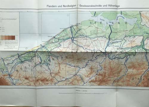
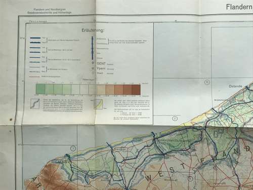
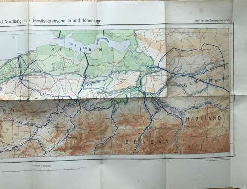
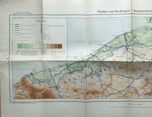
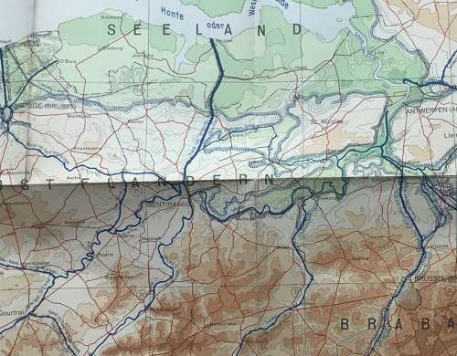
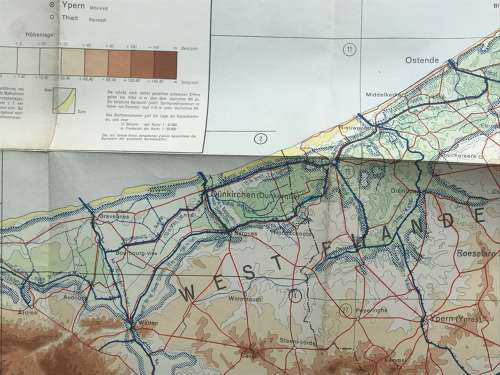

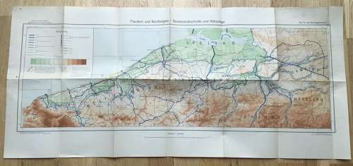
German Army map dated 1940 of Flanders and North Belgium
Code: 10690
£55.00 Approx $68.07, €63.88
Qty
A German army service map dated 1940, showing the waterways of Flanders and North Belgium. in amazing condition retaining its vibrant colours and it has been folded , measures 92 x 42 cms.